
505m / ~4 hours
Last summer I was trying to find a nearby hike to do in Okayama, and stumbled across Mt. Takataki near Soja. I don’t recall exactly how I first heard about it, but I was checking out the Japanese hiking app ‘Yamap’ and probably found it there.
It was steeper at the top than I was expecting (someone had kindly installed a few ropes to pull myself up with), and the descent was pretty treacherous at times with the wet ground. It was beautiful though, and I definitely recommend it!
I took the train to JR Minagi station 美袋駅 and from there it’s a short walk to the trail-head.
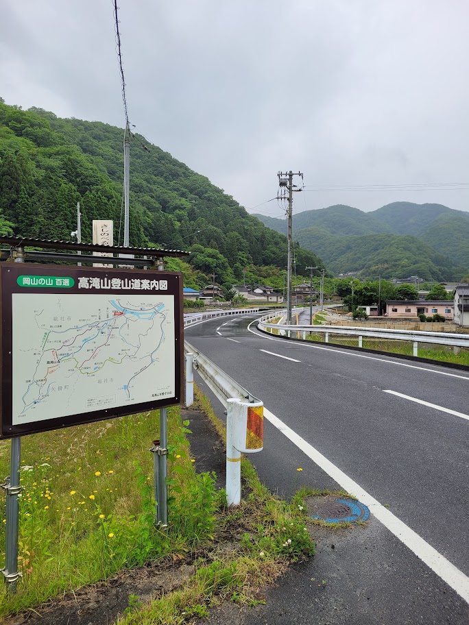
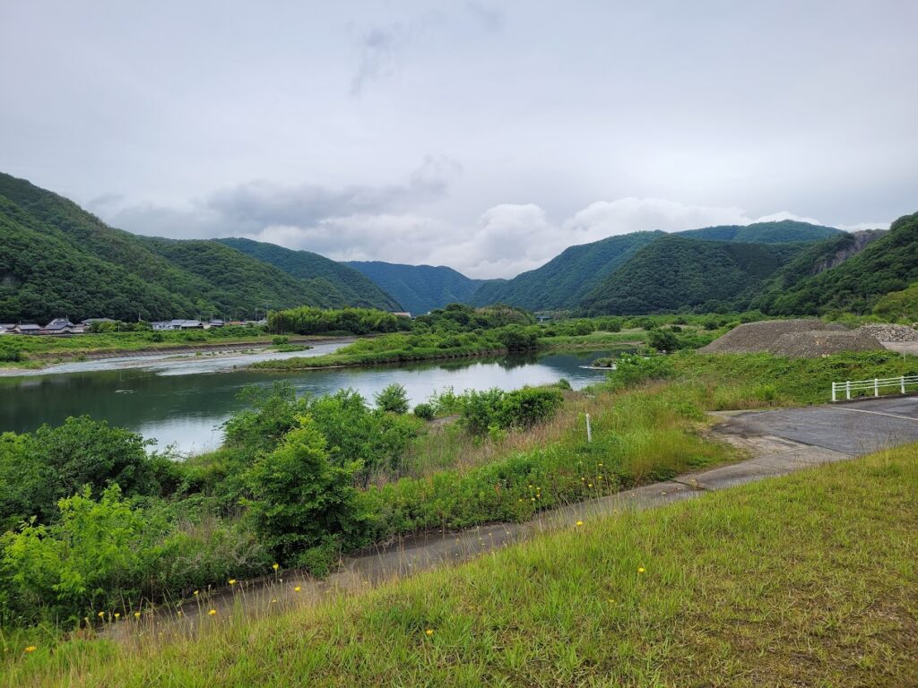
Photo location: https://maps.app.goo.gl/QLHG7VNHiAbpeisr5
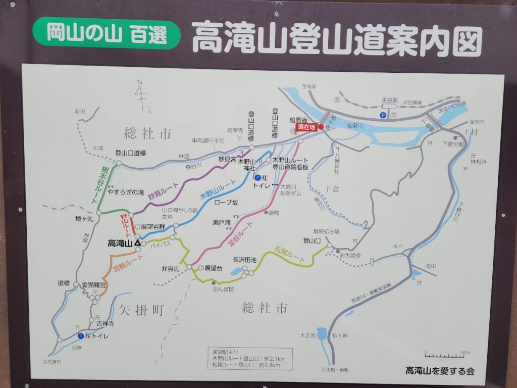
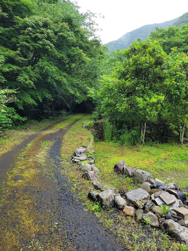
I took the ‘green’ route up, and the ‘blue’ route down. Heading up to the start of the green route takes you through a rural neighbourhood until you eventually disappear into the trees.
After a ways I encountered another reassuring sign/map at the start of the ‘green’ route, letting me know I wasn’t lost already.
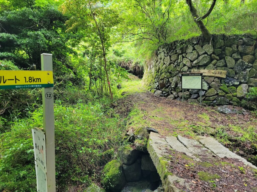
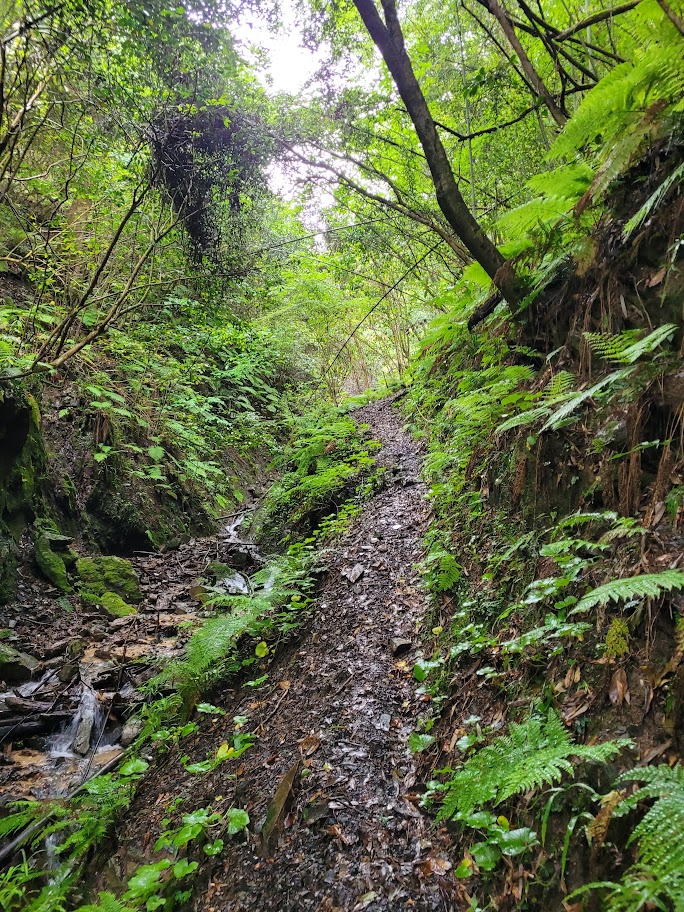
The trail at times was decidedly less maintained than most hikes I had done prior to this, and there were moments where I wondered what I had gotten myself into.
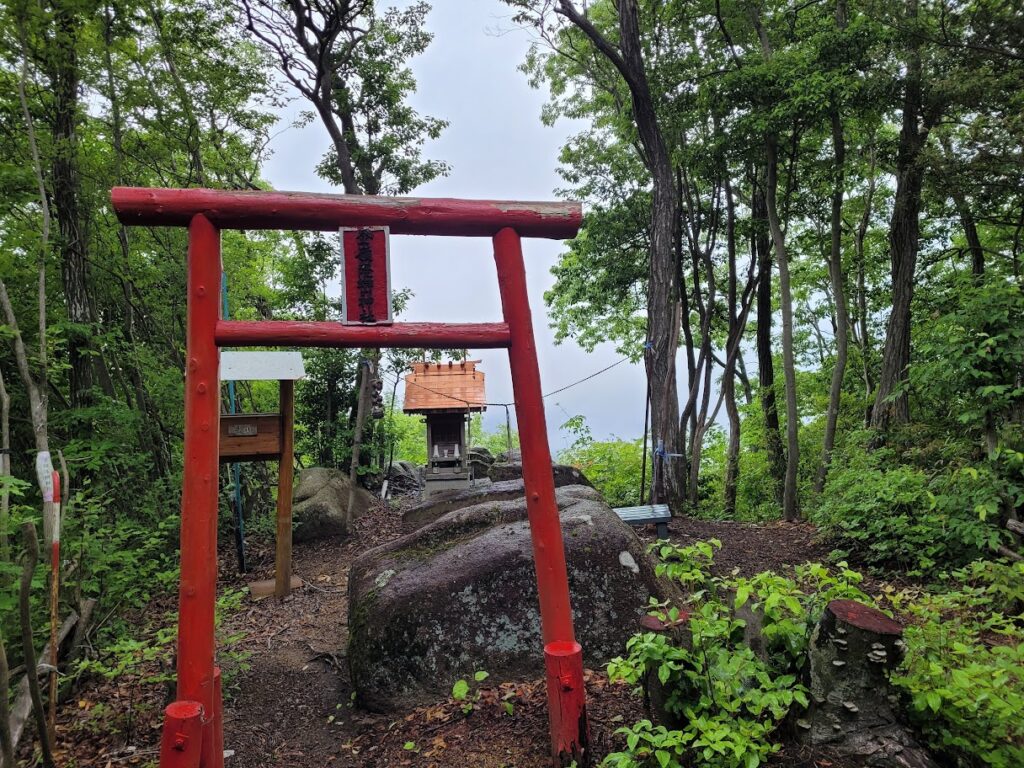
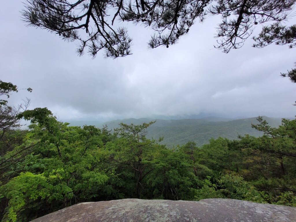
The summit was gorgeous, and it felt like I was right at the cloud layer.
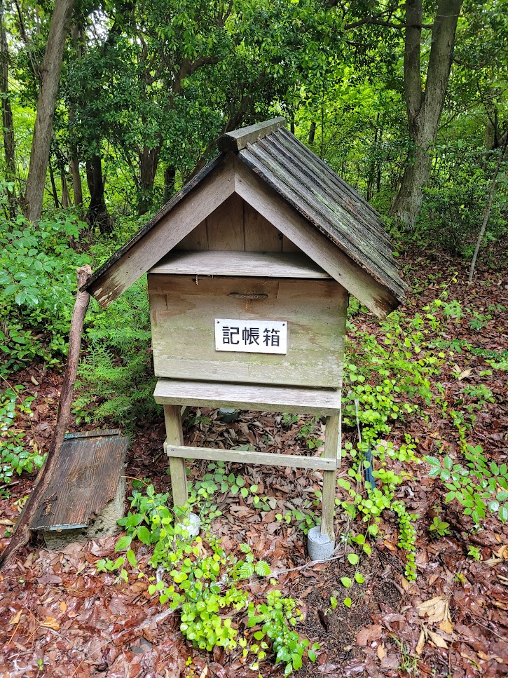
Don’t forget to sign the guest book if you do this hike yourself. 🙂
I had a great time, and will remember this hike fondly for a long time to come. If I were to do it again, I would make sure to bring a hiking pole to save my knees.
Leave a Reply